Hawaii’s Precision Drone Inspections for Buildings & Infrastructure
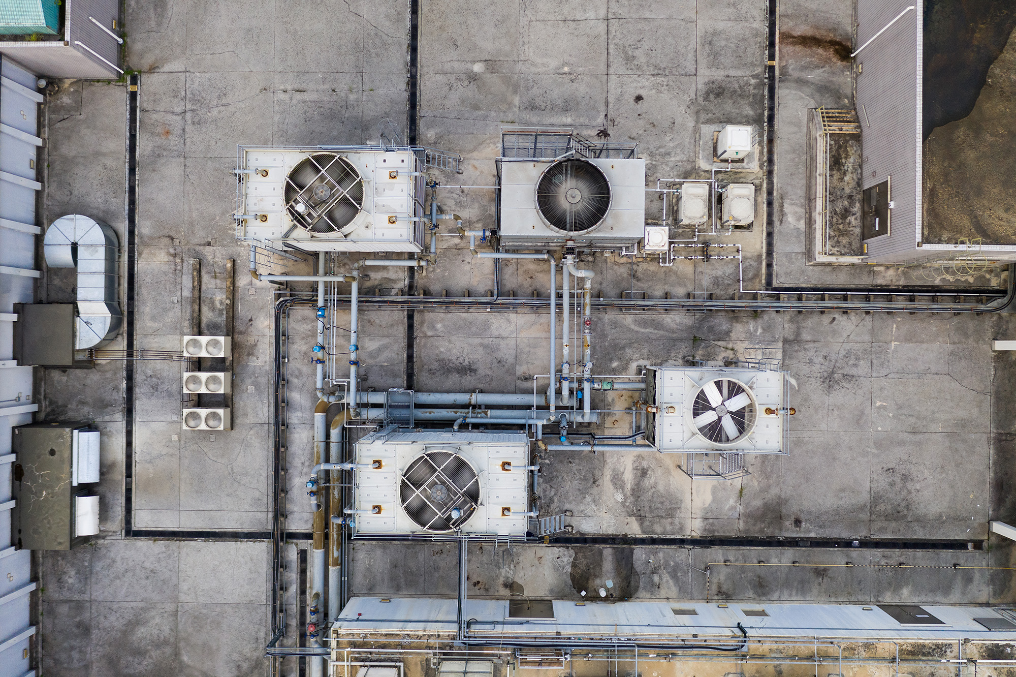
Licensed aerial inspections using high-resolution photos, thermal, and LiDAR drone technology. We provide accurate, efficient, and safe assessments for maintenance, compliance, and infrastructure projects.

What We Do
Thermal Imaging
Detect heat loss, moisture intrusion, and electrical issues with advanced thermal drone technology for accurate diagnostics.
LiDAR 3D Mapping
Capture detailed 3D models of landscapes, buildings, and infrastructure with cutting-edge LiDAR drone mapping technology.
Infrastructure
We provide high-resolution drone inspections for bridges, highways, and critical infrastructure, ensuring safety and compliance.
Commercial Buildings Inspections
Our drones capture detailed aerial and close-up images to assess structural integrity, damage, and maintenance needs.
Facade Inspections
Safely inspect building exteriors for cracks, wear, and compliance issues with high-resolution drone imaging and analysis.
Roof Inspections
Get fast, safe, and accurate roof assessments with drone technology, identifying damage, leaks, and maintenance concerns.
Solar Panels
Inspect solar panel systems for efficiency, damage, and debris using drone imaging and thermal analysis for optimal performance.
Towers and Antennas
Reduce risk and downtime with precise aerial inspections of cell towers, antennas, and communication infrastructure.

Trust the Experts – Certified, Licensed, and Insured Drone Inspections
Not all commercial drone companies are created equal. In Hawaii, strict FAA regulations require commercial drone operators to be licensed, and insured—something hobbyists and weekend flyers can’t guarantee. At Akamai Aerial, we bring FAA Part 107 certification, $2 million full liability coverage, and industry expertise to ensure safe, legal, and high-quality inspections. Avoid costly fines and unreliable results—trust a professional team that understands Federal and Hawaii’s unique airspace laws and compliance standards.
Thermal Imaging – Detect Hidden Issues Before They Become Costly
In Hawaii’s humid climate, rental properties and buildings are prone to moisture intrusion, mold growth, and structural damage—especially after frequent flooding and heavy rains. Our thermal drone inspections can detect hidden leaks, insulation failures, and electrical hotspots before they turn into costly repairs. Using advanced infrared technology, we provide accurate, non-invasive assessments to protect your investment and ensure long-term property integrity.
taxation planning
Eiusmod tempor incididunt ipsum ut labore dolore magna aliqua. Ut enim minim veniam duisy ipsum sed quis.
LiDAR 3D Mapping – Precision Data for Construction & Land Surveying
Oahu’s diverse terrain and frequent development projects demand accurate, high-resolution mapping. Our LiDAR drone technology captures detailed 3D topography, elevation data, and structural measurements, making it ideal for construction planning, land surveying, and infrastructure assessments. Whether you’re managing a new build, renovation, or environmental study, our LiDAR mapping ensures precise, reliable data to streamline decision-making and reduce costly errors.
Commercial Building Inspections – Safe, Fast, and Precise Assessments
Oahu’s commercial properties face wear from humidity, salt air, and storms, making regular inspections essential for safety and maintenance. Our drone inspections provide detailed aerial and close-up imaging without the need for costly scaffolding or risky manual checks. From structural integrity assessments to roof and facade inspections, we deliver fast, accurate, and non-invasive reports to help property owners, managers, and investors make informed decisions.

About
Pilot In Command (PIC)

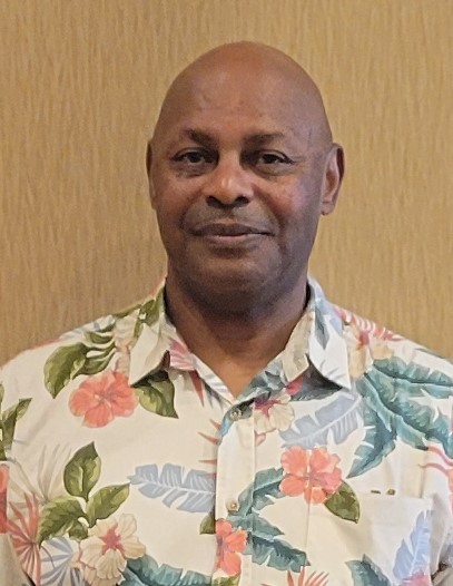
Gary Thomas, Jr. Founder & CEO

Gary was raised in Haleiwa, Hawaii, and is the Pilot in Command (PIC). His love for flying started at age three when he attended the Air Force Blue Thunderbird Airshow. He’s an avid photographer who collects classic cameras and never misses an opportunity to take photos on land or in the air. Gary’s career includes executive positions in local and network radio broadcasting, adtech mobile data analytics, and hospitality technology SaaS sales. During his spare time, Gary enjoys cycling, walking, playing chess and jigsaw puzzles, traveling, and taking Japanese speaking lessons.
At Akamai Aerial, we combine advanced drone technology with expert knowledge to deliver precise, reliable infrastructure inspections. As the PIC, I ensure that every inspection meets the highest safety, compliance, and accuracy standards for our clients across Hawaii.

