LiDAR 3D Mapping
LiDAR 3D Mapping
Leading the Way in Quality LiDAR 3D Mapping
LiDAR 3D Mapping Services with Akamai Aerial: Precise, Detailed, and Cost-Effective Solutions
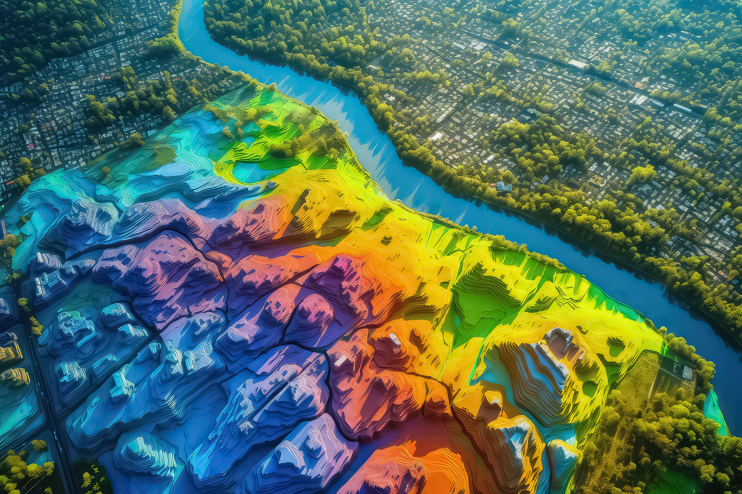
LiDAR 3D mapping is a powerful tool for obtaining precise, high-resolution data of your property’s infrastructure. At Akamai Aerial, we offer advanced LiDAR 3D mapping services using state-of-the-art drone technology to deliver accurate, detailed models of your site. Whether you need to map large landscapes, monitor terrain changes, or create detailed building models, our LiDAR technology ensures that you get the most accurate results.
Investing in drone-based LiDAR 3D mapping is an effective way to capture precise, high-resolution data for a variety of applications, from infrastructure assessments to land surveying. Whether you need topographical surveys, volumetric measurements, or structural models, we ensure the highest precision with every project. With Akamai Aerial, you can trust our advanced drone technology to provide comprehensive, reliable, and cost-efficient mapping solutions that enhance decision-making and support long-term planning.
Call Akamai Aerial today at (808) 646-6246 for your Free Consultation!

Reliable LiDAR 3D Mapping
Akamai Aerial’s LiDAR 3D mapping solutions are designed to improve efficiency, minimize errors, and reduce costs. By utilizing cutting-edge drone technology, we help you capture and analyze high-quality AI-powered data with ease, ensuring that your projects are completed on time and within budget. Our commitment to excellence guarantees you receive precise, cost-effective mapping services that support the optimization and growth of your assets.
Best LiDAR 3D Mapping
At Akamai Aerial, we offer advanced LiDAR 3D mapping services that provide accurate, high-resolution data to meet the needs of building owners, property managers, businesses, municipalities, and industries that require detailed and reliable mapping solutions. Our drone-based LiDAR technology is designed to capture precise topographic data, create 3D models, including land surveys, construction projects, infrastructure assessments, environmental monitoring and assess complex structures, ensuring your projects are supported with the most accurate information available.
Using the latest drone technology, Akamai Aerial ensures that all LiDAR 3D mapping services are efficient, accurate, and cost-effective. We deliver timely, detailed data that helps you optimize your projects, reduce risks, and make informed decisions.
Akamai Aerial delivered precise, timely drone inspections with high-resolution imaging and 3D mapping. Highly recommend for reliable, efficient aerial assessments!
Building Owner,
Honolulu, HI

Let’s Talk – Free Estimate
Our drone-based LiDAR mapping services cover everything from large-scale terrain mapping to detailed analysis of structures, helping you gather precise information for your projects. Whether you need to create topographic maps, conduct volumetric analysis, or assess complex infrastructure, Akamai Aerial’s LiDAR technology ensures unparalleled accuracy and data precision.
We prioritize safety and precision, ensuring you get the data insights you need to support the success of your projects.
Call Akamai Aerial today at (808) 646-6246 for your Free Consultation!

